Regional Maps
El Paso East
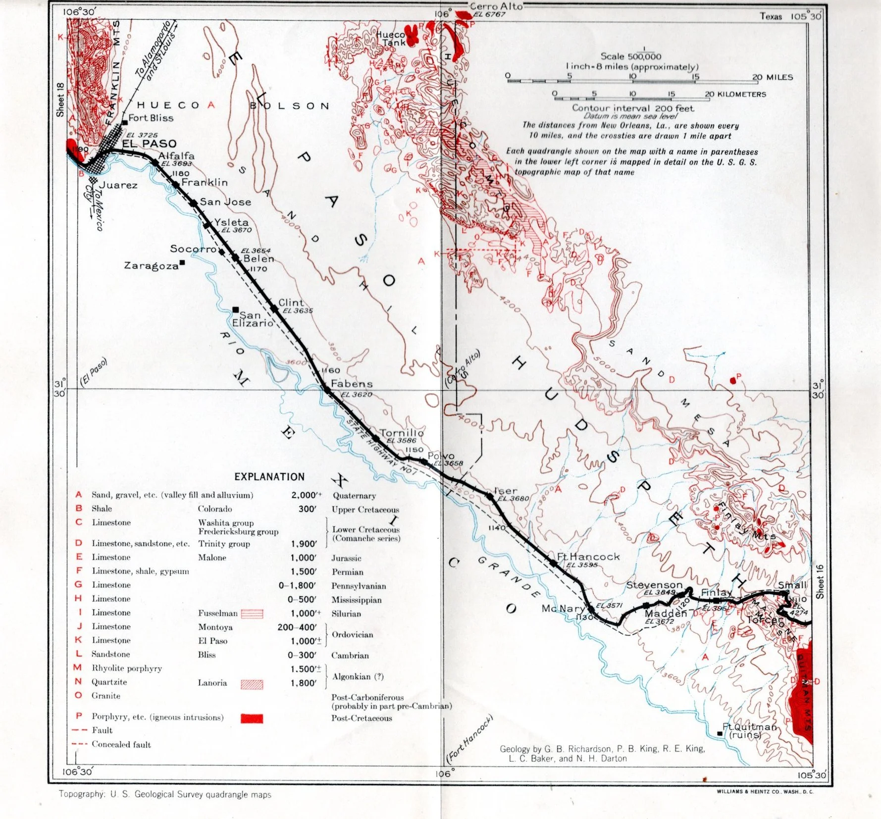
The above map includes the now by-passed horsehoe curve between McNary and Finlay. The curve was used thru the 1950s before the track was realigned. The grade was increased slightly but in the 75 years since the origional construction the curve. At the time the horseshoe curve was by-passed the curve wasmore of an operational hinderance due to increase train lengths and greater locomotive ability.
El Paso West